OUR BACKGROUND
In Land Surveying, Land Planning & Geospatial Data Systems
Stubbs Geomatics, LLC is a privately held, licensed, Professional Land Surveying Firm based in Macon, Georgia. Robert L. Stubbs, Jr. is the head of operations and is a Registered Land Surveyor in the State of Georgia. Prior to formation of the company, Mr. Stubbs worked in excess of 10 years as a Project Manager for Donaldson, Garrett & Associates, Inc. He is a 2006 graduate of the Civil Engineering Technology program at Southern Polytechnic State University, where he earned a Bachelor of Science degree in Civil Engineering Technology, from the Surveying & Mapping Department. Work experience and formal education provided a solid foundation in a broad range of engineering practices, such as Land Development, Hydrology and Construction Management
Mr. Stubbs has served as Lead Project Manager on numerous large and small scale projects. He specializes in the following:
- Engineering Design Surveys
- Topographic Surveys
- Environmental Surveys
- Boundary Surveys
- Subdivision Surveys
- Route Surveys
- Easement Surveys
- FEMA Elevation Certificates
Stubbs Geomatics will provide you with top-notch, professional deliverables, at a market competitive price. We welcome the opportunity to demonstrate our dedication to old-fashioned hard work and earn the right to proudly serve you as our client.
GEOMATICS
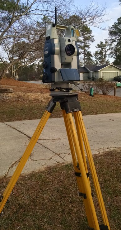
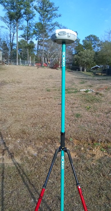
Geospatial Engineering, more informally known as Geomatics, is the specific discipline of collecting, processing, analyzing and reporting spatially referenced, geographic data sets.
While the principles of traditional Land Surveying methodologies remain, the Geomatics professional implements the use of an array of modern-day technologies to enhance problem solving abilities. These technologies include the use of tools, such as digital aerial mapping (LiDAR, UAVs or Drones), Global Positioning Systems (GPS) and Geographic Information Systems (GIS), all of which are commonly used to provide reliable and accurately referenced, geospatial data.
Advancements in technology have helped all of us lead our lives in the 21st century. Geomatics is leading the future of the Land Surveying profession in the 21st century.